


Tourist’s Map of England & Wales (Bartholomew's) c1889 - Cloth/Folding
$175.00
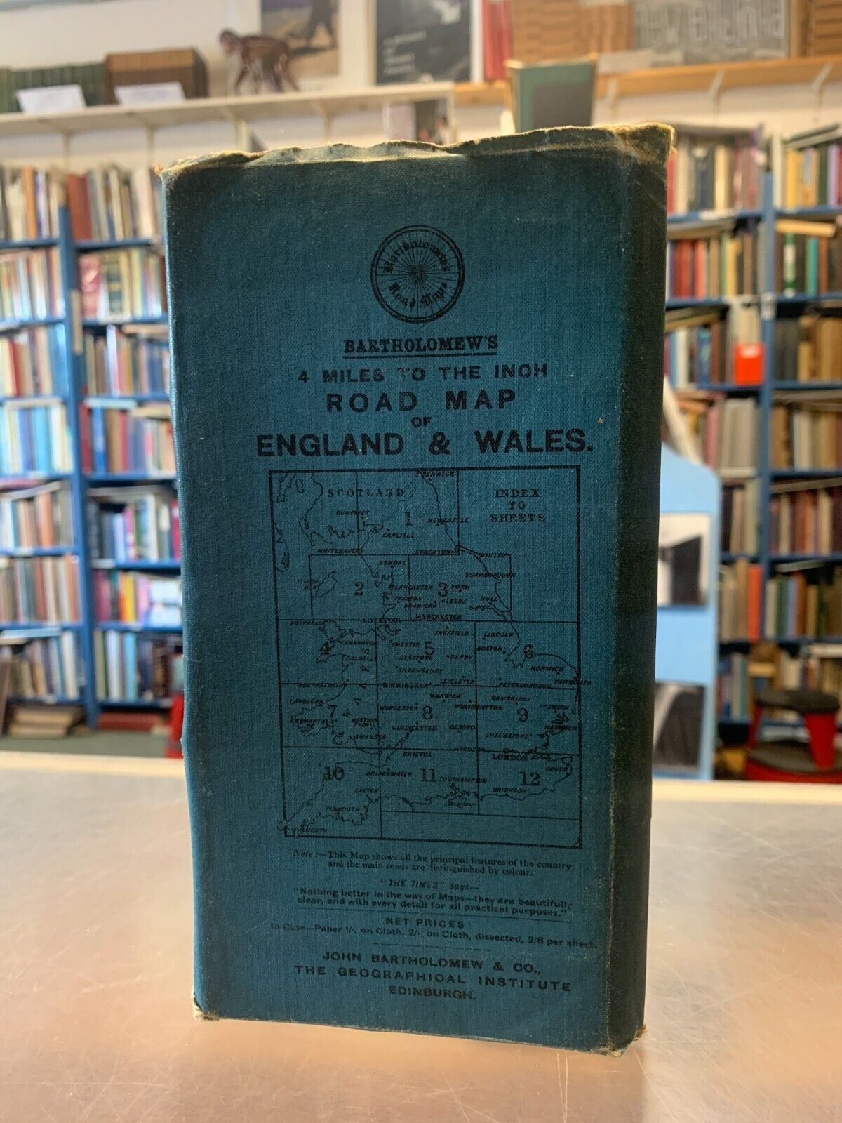
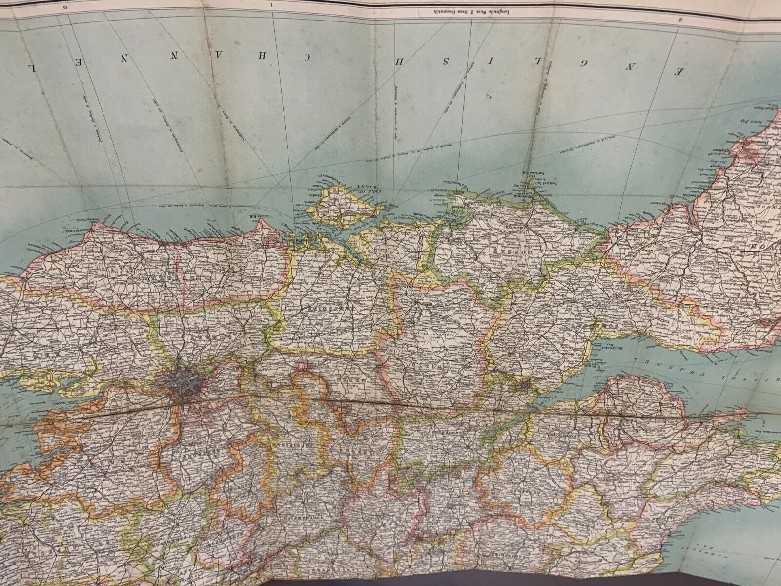
Batholomew's Tourist's Map of England & Wales. Large, brightly colored map of England and Wales. Address on map cover is Park Road, dating this to 1889-1911. A beautiful map, suitable for framing or keeping as is.
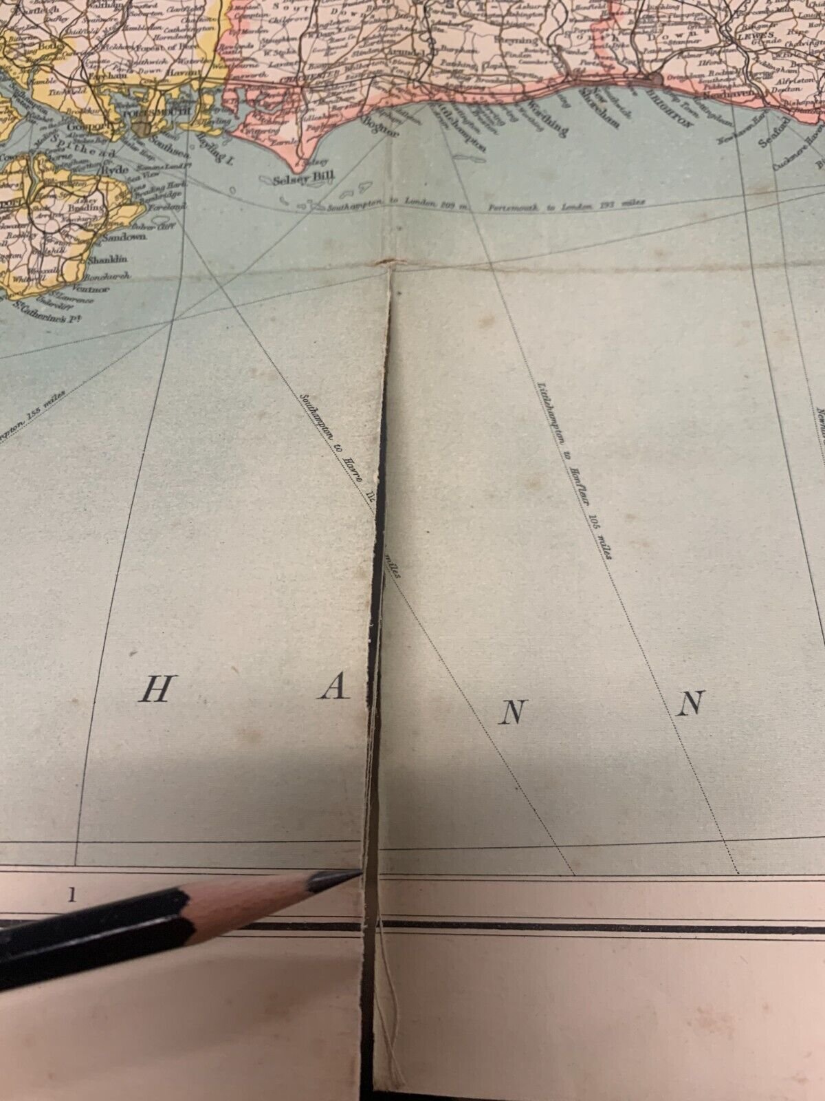
Folded map, pocket/ softcover, 4 X 8". Paste-in ads for other maps including 1/2 inch to mile and cycling maps. Well used/worn, but durable. Edges rubbed. No water damage. Map: 43 ½” x 34 ¼” sheet size; 41 x 31 ¾” within neat line; cloth backed paper; printed in color half-tone; slight tear started at lower edge (see photos) very good.
Batholomew's Tourist's Map of England & Wales. Large, brightly colored map of England and Wales. Address on map cover is Park Road, dating this to 1889-1911. A beautiful map, suitable for framing or keeping as is.
Folded map, pocket/ softcover, 4 X 8". Paste-in ads for other maps including 1/2 inch to mile and cycling maps. Well used/worn, but durable. Edges rubbed. No water damage. Map: 43 ½” x 34 ¼” sheet size; 41 x 31 ¾” within neat line; cloth backed paper; printed in color half-tone; slight tear started at lower edge (see photos) very good.